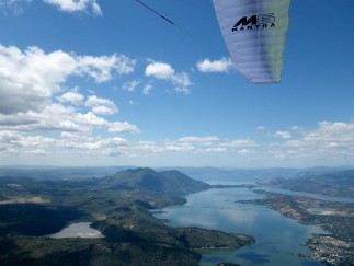
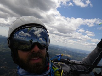
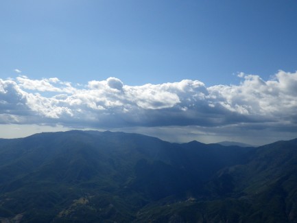
St. Helena to Elk Creek

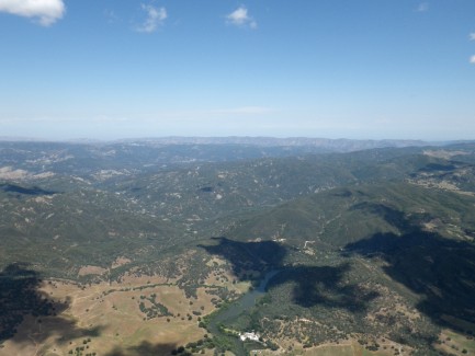
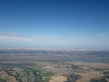
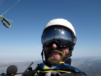
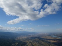
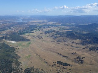
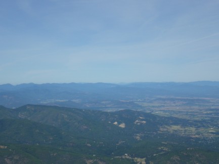
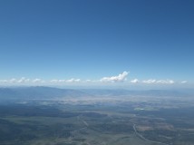
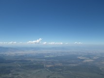
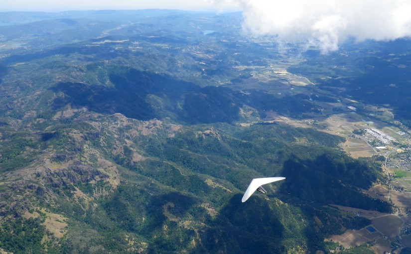
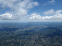
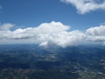
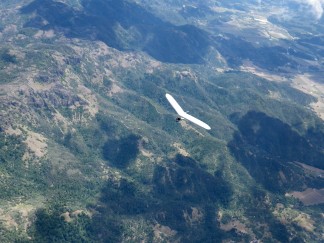
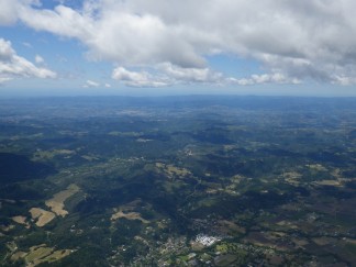
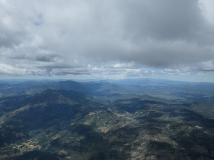
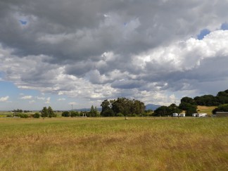
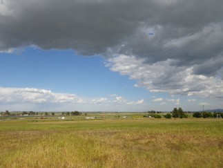
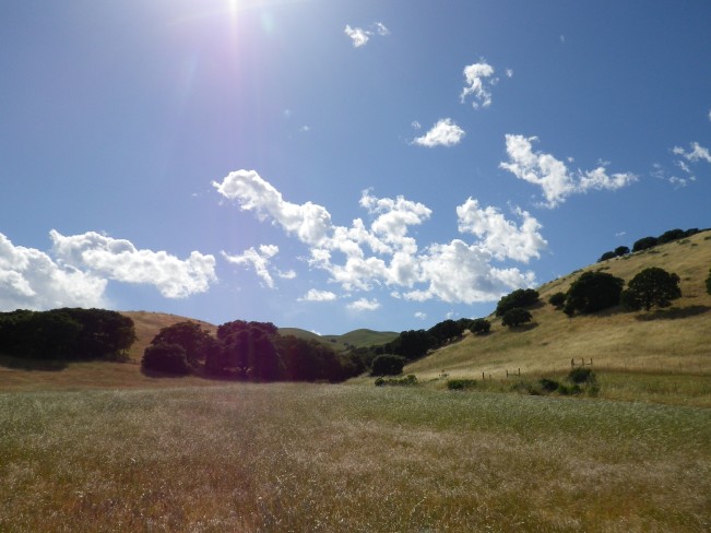
The forecast for Friday May 8th, 2015 was the best I had seen all season and my dad, David was available to drive for me. The final model runs that morning switched the forecast wind direction from southwest to north and the visible satellite showed marine stratus receding down the Napa Valley. However, the conditions still looked promising enough to go for it.

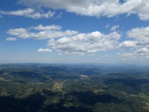
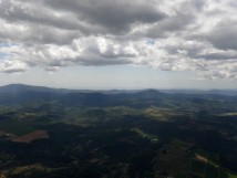
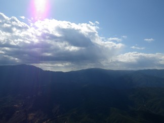
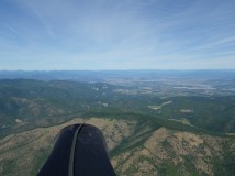
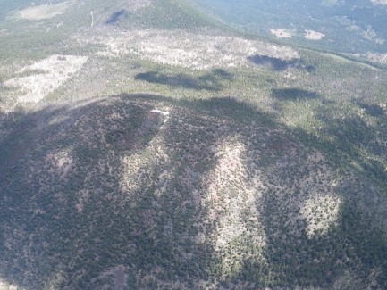
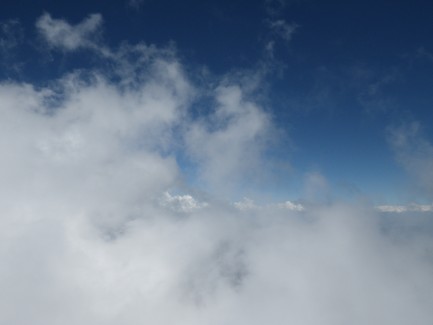
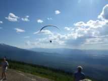
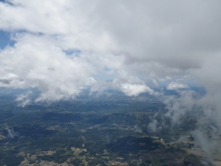
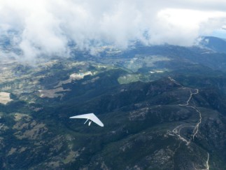
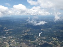
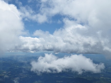
We headed up early and swirling cumulus clouds were already developing over the mountain, and to the north and east when we arrived at launch. I set up and launched into a good cycle around 11:30. I climbed right away but was approaching cloudbase at only 5000′. I immediately bailed over the back toward Middletown, hoping to reach the higher clouds forming there.

I struggled for a long time to catch a climb to cloudbase near Middletown, but it just wasn’t going to happen. The wind was south down low, but the cloud drift was showing north and I couldn’t figure out how to work through the shear.

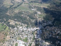
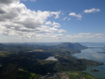
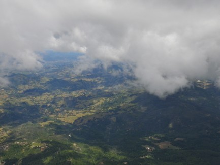
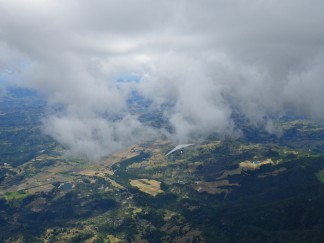
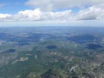
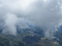
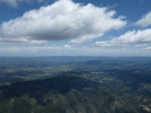
I headed for Hidden Valley Lake and eventually found a better climb. I got drilled on my glide to Lower Lake, though, and was setting up to land just south of the 29/53 intersection when I found enough lift to pull off a low save. The climb coalesced and ended up being the best of the day, taking me all the way to cloudbase at 8500′.

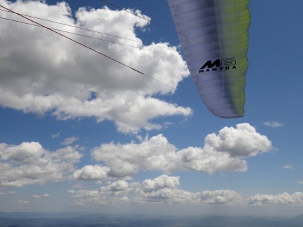
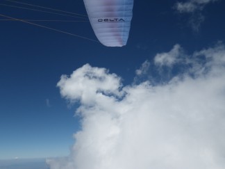
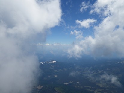
Gliding at full speed to punch through a large blue hole on the way to Highway 20, I took my first accelerated frontal. The Mantra seems to respond best to frontals if you give a quick tap on the brakes. However, I was a little late with the brakes and went parachutal for a moment. The wing dove and regained airspeed nicely, though.

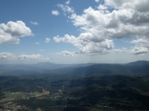
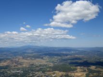
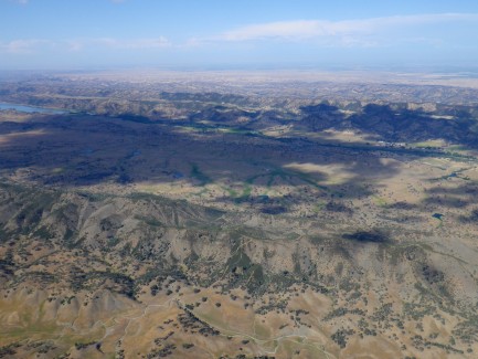
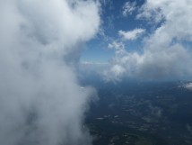
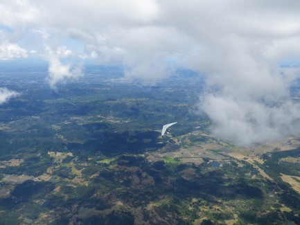
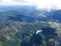
I continued for New Long Valley and had another low save there. I pushed north toward Bartlett Springs Rd. and instructed David to take 20 to Bear Valley Rd. I never found a great climb at Indian Ridge, but continued north anyway. More climbs were required here to avoid an ugly land out and hike. Fortunately, I found them. This brought me to the M5 above Trough. I tried to climb to cloudbase there and got pretty close.

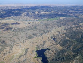
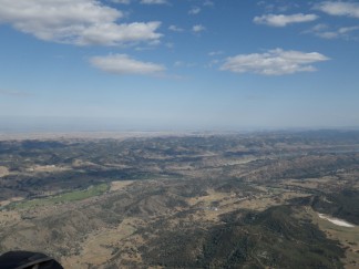
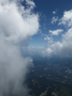
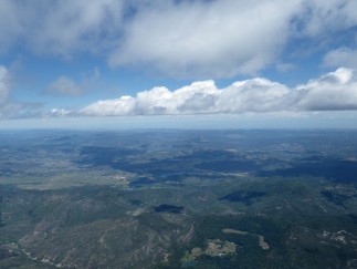
Then I went on glide toward the Salt Spring Valley, passing Stonyford and taking the site record back from Cody. I continued to find climbs near Gravelly Ridge, which I attributed, in part, to rain falling between St. John and Felkner and eventually had a nice final glide to Elk Creek.

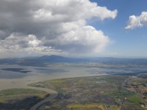
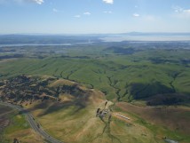
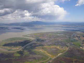
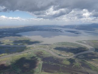
My dad arrived in the truck just as I turned final and watched me land. Ron and Mark also showed up. They were driving to Potato for the Sprint Leage and had seen my approach. My dad and I ate dinner at the Elkhorn and headed to Dixie Glade to camp out. With a distance of 106km/66mi, this was a new paraglider site record for St. Helena, and my second longest open distance flight!

Tracklog: http://www.paraglidingforum.com/leonardo/flight/1155154

3D Visualization: http://www.doarama.com/view/300572
Rat Race Task 2
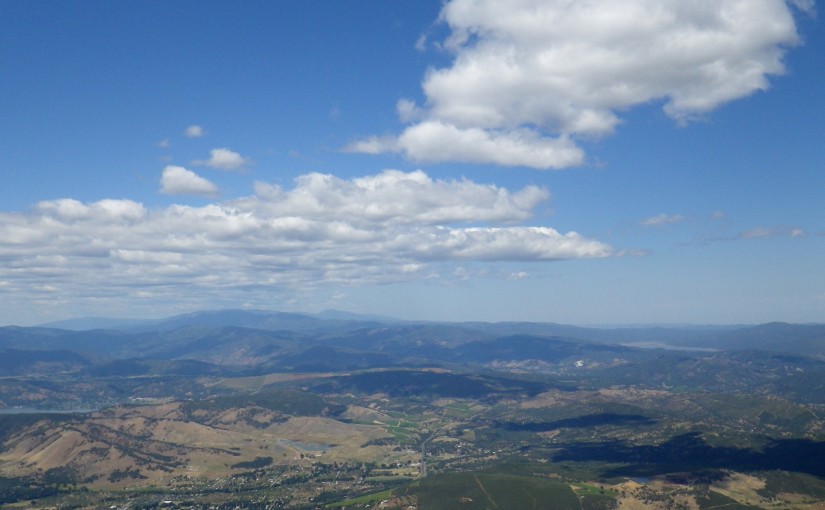
I made goal for the first time at the Rat Race today. Cloudbase was around 8k’ and I stayed high through the whole course, which was a good move. Escaping a cloud over Burnt on I took a full frontal, which was easy to recover, and almost took another not much farther down course. Final glide from Jacksonville to Donato’s was amazing. I left with about 9:1 to goal and ended up doing the whole leg at well above 10:1, (sometimes climbing) and making 55+ kph groundspeed.

Tracklog: http://www.paraglidingforum.com/leonardo/flight/623675

Whaleback Launch Inauguration

RVHPA was hosting a barbecue and ribbon cutting ceremony to celebrate the completion of their new launch at The Whaleback and the weather forecast looked promising, so I headed north for the weekend.

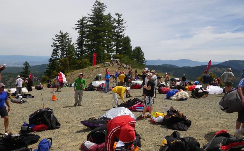
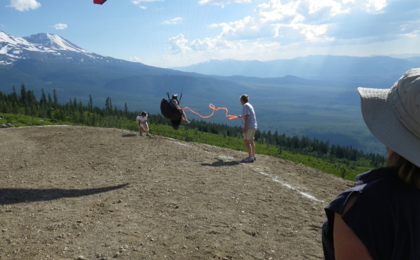
When we arrived at launch on Saturday morning, conditions were strong and we observed overdevelopment to the north, but none of the nearby clouds were growing too tall, so most of us punched off. I was the last pilot to take off before the wind really kicked up on launch grounding the rest of the pilots. As soon as I stepped off the mountain, I started going up vertically. I pointed upwind and climbed out while inching forward at 3-5kph. I tried to turn a few times when I hit stronger lift, but the best strategy seemed to be flying straight ahead at 1/4 to 1/3 bar.

I soon found myself at cloudbase around 13,400′. The pilots who launched earlier on hotships had already headed out on course downwind and I looked down to see the others who had launched just before me (Cody, Greg, and Benny) bailing crosswind for LZs.

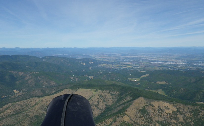
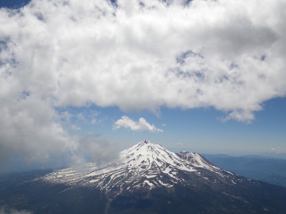
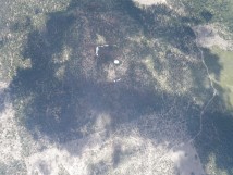
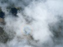
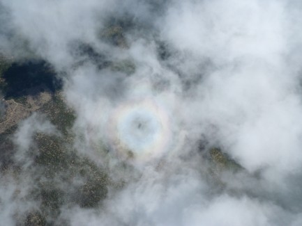
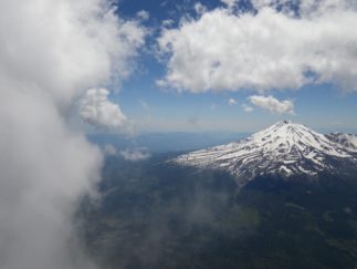
I headed to the upwind side of the cloud and easily scaled its face, eventually topping out at 15,950′, a new personal best for altitude. I got myself into a position where I could see how much the cloud was developing vertically and prepared to run away upwind or crosswind at top speed if started threatening to overdevelop. It looked pretty well capped, so I enjoyed the view of Mt. Shasta and my shadow on the cloud ringed by rainbow glory.

Soon the cloud stated to dissipate. I hoped that cloud dying would mean lighter winds on launch and others coming up to join me and go XC. I called on the radio, and no one was getting ready to launch, so I headed over the back on my own.

I had a decent glide, but I didn’t manage to connect with any more lift and decided it was unwise to try to scratch on Orr Mountain and wait for a cycle to kick off. The surface winds were still pretty stiff and I felt like I needed to be extremely conservative having spent so much time at altitude without supplemental oxygen.

My landing was uneventful and I was soon met by Annie and a truck full of pilots who had launched earlier and landed to avoid being sucked toward significant overdevelopment downwind. We headed back up to launch for an evening flight.

Paul Murdoch cut a ribbon to officiate the opening of the new launch by taking off through it and was followed by many other pilots.

My launch timing on my second flight was not ideal as a large band of cloud blew through and shaded the entire valley. I had to scratch near launch in weak lift for the better part of an hour before I was able to climb up to the summit. Then things improved as a convergence set up providing widespread lift, marked by clouds up to about 10,000′.

After flying for about two hours, I headed out to the LZ, threw down some asymmetric spirals to burn off altitude and executed a soft landing.

That night we hung out at the campground, drank beer, and barbecued meat.

We headed up the hill on Sunday to find conditions similar to the previous day. Preacher and Cody were the only ones to get off the mountain before the winds kicked up and made it unsafe to launch. Cody landed at the LZ and Preached skied out and headed downwind. The rest of us eventually decided that we should drive down.

This unforgettable weekend provided two of my most spectacular flight flights to date. I can’t really describe and pictures can’t really capture the beauty of looking down on Mt. Shasta from over 15,000′. I eagerly await my next trip to The Whaleback.

Tracklog 1: http://www.paraglidingforum.com/leonardo/flight/483513

Tracklog 2: http://www.paraglidingforum.com/leonardo/flight/483515

St. Helena Site Record

A sweet convergence line set up over the whole coastal range, allowing me to fly from Mt. St. Helena to I-680 east of Vallejo.

I launched at 12:15 and immediately climbed out over the mountain and above the lower cloudbase on the marine side of the convergence. I hung out over the mountain until Scot launched and climbed to join me, then we headed toward the Palisades at cloudbase. We worked a thermal together after crossing CA-29 and I snapped some pictures of him before we set off on glide.

That was the last we saw of each other, as he took the east route around some lower clouds and I took the west route. I thought I saw obvious signs of a thermal triggering off north of the town of St. Helena (change in wind direction indicated by smoke and ripples on a nearby lake) and sped towards it over the Napa Valley. Unfortunately when I got there I found nothing but sink.

I picked out a couple of fields on the south side of town and started preparing to land in one of them. When I arrived at my chosen field, I encountered some light lift and was able to climb back up to 4k, where it seemed to peter out. Analysis of my tracklog indicates that the wind switched from NNW to N and increased in velocity at that height. After some hunting around, I reconnected with the thermal and picked up another 1000′ as I drifted toward the hills.

It took me another glide to get back over the valley and a long drifting climb before I shifted my focus from landing options back to the clouds and what lay ahead on course. At some point during that climb, we decided that Matt, who was waiting in Napa, should continue chasing Scot out toward the Central Valley via  CA-12 and worry about picking me up on the way back.

The clouds were all showing NNE wind aloft and I thought about hopping the ridge and pushing out across the Sonoma Valley toward Infineon Raceway. However, I figured there would be some significant SW wind at lower altitudes coming off San Pablo bay and fueling the convergence, so I decided to track CA-12 out toward Fairfield.

The transition over the south end of Napa was spectacular! I was flying at about 8k and skirting around building cumies well below an upper cloud layer. As I flew over the north end of Napa County Airport (well above the ceiling of it’s class D airspace), I looked down to see the sock indicating a stiff SW breeze.

I worked a few bubbles as I tracked the ridge north of CA-12 out toward I-80, but I arrived at Fairfield low and started setting up for landing. As I approached the freeway I caught another climb and soon found myself back in the northerly flow, drifting toward Suisun Bay.

I wasn’t sure about the extent of the controlled airspace around Travis AFB or the availability of roads and dry land out in the Delta, so I pushed back toward the hills east of Vallejo. I fought a pretty significant headwind and didn’t find any more lift on that transition, so I set up and landed in a field next to I-680, setting a new paraglider site record at 46.9 miles.

Scot landed somewhere near the Altamont Pass. I believe this was the first time anybody has crossed the Delta from St. Helena.

Tracklog: http://paraglidingforum.com/leonardo/flight/448874

3D Visualization: http://www.doarama.com/view/310367